Destination guide: the outer islands
Sailing in Vis
Vis is the furthest of the central Dalmatian islands from the mainland, and for decades it was a closed military zone. That history left it with two small, unhurried towns, very clear water and a coastline full of caves and coves.
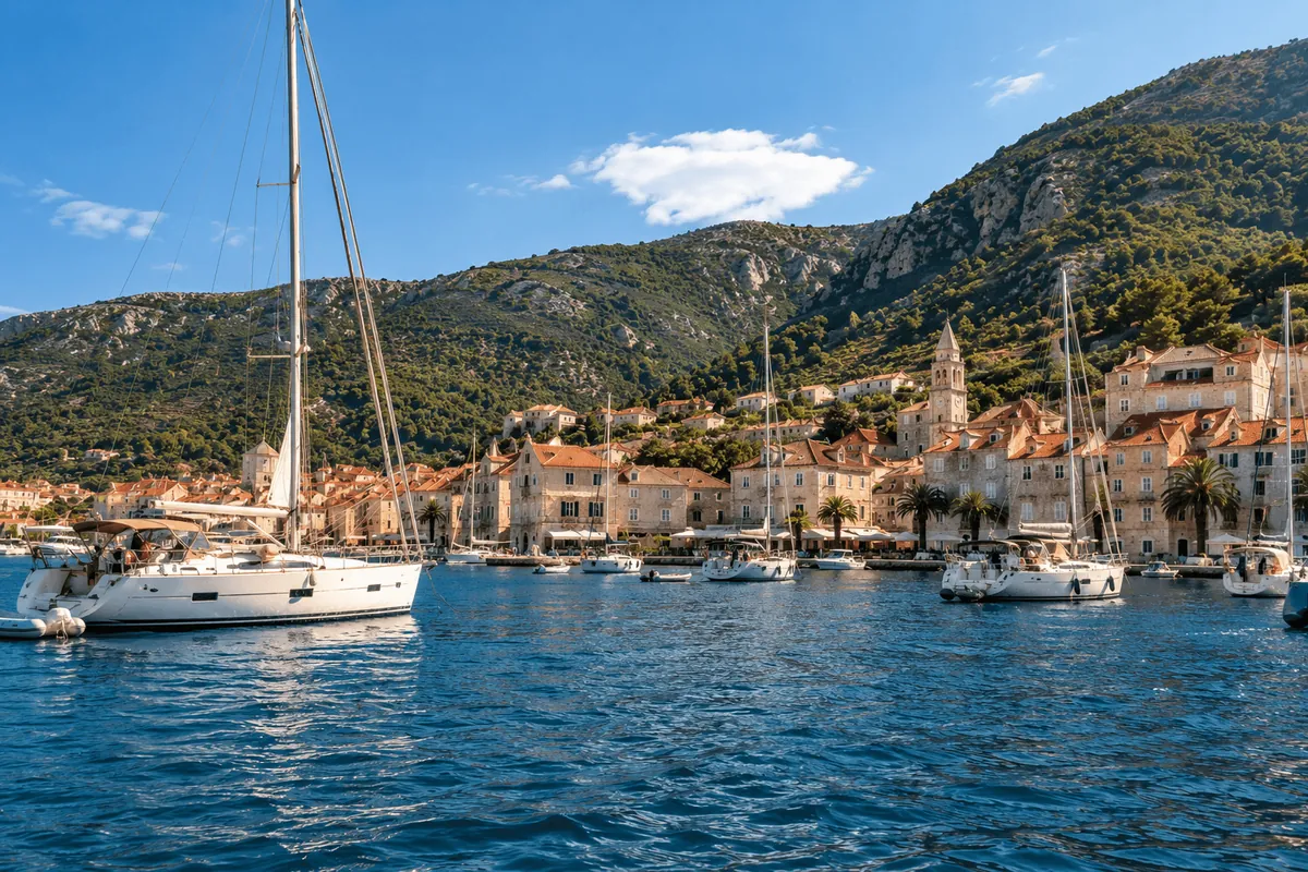
Arriving by sea
Vis sits out in the open Adriatic, so the crossing from Hvar, Šolta or Brač is longer and more exposed than most hops between the inner islands. The island rises steeply ahead of you, green with vineyards and scrub, and Mount Hum, its highest point, stands above the western end.
Vis Town lies at the head of a deep bay on the north coast, its waterfront stretching around the bay from the main harbour to the old quarter of Kut. Komiža, on the west coast, is a fishing town tucked under the slopes of Hum, with a Venetian tower guarding its harbour and the island of Biševo visible offshore.
A short history
Greek settlers from Syracuse founded Issa here in the 4th century BC, and it became one of the most important towns on the eastern Adriatic before Rome took control. Remains of the Greek and Roman town lie around Vis Town's bay.
The island's position made it valuable to every navy that passed. Britain held it during the Napoleonic Wars and built Fort George above the harbour. In 1866 the Austrian and Italian fleets fought the Battle of Lissa just offshore. In 1944, Tito ran the Yugoslav Partisan resistance from a cave on Mount Hum. After the war Vis became a Yugoslav naval base and stayed closed to foreign visitors until 1989, which is why it has so little large-scale development. Today the island and its surrounding islets form the Vis Archipelago UNESCO Global Geopark, recognised in 2019 for their unusual geology.
A few hours ashore
In Vis Town, walk the waterfront from the harbour to Kut, where old stone houses and small squares line the shore. The archaeological collection in the Batarija, a 19th-century Austrian fortress on the waterfront, holds finds from ancient Issa. Fort George, on the headland at the harbour entrance, is a pleasant walk or short drive for the view back over the bay.
In Komiža, the Fishermen's Museum in the Venetian tower on the harbour tells the story of the falkuša, the fast sailing boat Komiža fishermen once raced out to distant fishing grounds. If you have a few hours and a taxi or hire scooter, the road up Mount Hum gives views across the whole archipelago, and Tito's Cave can be reached on foot from the road.
Swims, caves and coves
Vis has some of the best swimming in Croatia:
- The Blue Cave on Biševo, where sunlight passing through an underwater opening turns the water a bright, glowing blue. Visits are by small local boats from the cave entrance, and the cave closes when the sea is rough.
- Stiniva, a cove on the south coast enclosed by tall cliffs with a narrow entrance from the sea. It is small and popular, and access is managed in summer.
- The bays of the south-east coast around Rukavac, with clear water and pebble beaches.
- The Budikovac and Ravnik islets off the south-east coast, with a shallow lagoon and, on Ravnik, the Green Cave.
All of these depend on the sea. A southerly swell can rule out the south coast and the caves on the day, and your skipper will choose what is safe.
Food and wine
Vis is known for Vugava, a full-bodied white grape grown here for centuries, and for its Plavac mali reds. Look for Viška or Komiška pogača, a bread pie filled with salted fish, onion and tomato that fishermen took to sea, and lobster cooked with spaghetti, a classic in the konobas around Komiža. Many restaurants are family-run and use their own wine, olive oil and fish.
How yachts berth on Vis
Vis Town has a town quay along the waterfront and mooring buoys in the bay, and the deep, north-facing bay gives good shelter in most summer conditions. Komiža has quay space and buoys too, but it faces west and can be uncomfortable in a strong westerly swell. Around the island, yachts also anchor or pick up buoys in south-coast bays for lunch stops when the weather allows.
Because Vis is exposed, it is one of the stops most likely to be swapped if the forecast is poor. Our guide to weather and route changes explains how skippers decide.
Practical notes
Vis is busy in July and August but far calmer than Hvar Town or Split. The towns are small, with fewer shops and cash machines, so carry some euros as well as cards. Vis Town and Komiža are on opposite sides of the island, linked by a winding road, so moving between them means a taxi, bus or scooter. Biševo and the Blue Cave usually take half a day once waiting time is included.
Responsible visiting
Much of the Vis archipelago is protected for its geology and marine life. Follow local rules at Biševo, Stiniva and the islets, and anchor on sand, clear of the Posidonia seagrass that covers many bays; see our guide to protecting seagrass when anchoring. Fresh water is scarce on such a remote island, so use it carefully, and take all rubbish back to a harbour with bins.
Questions
Can you swim in the Blue Cave on Biševo?
No. Visits are by small local boat only, and the cave closes when the sea is rough.
Why is Vis less developed than other islands?
It was a Yugoslav naval base and stayed closed to foreign visitors until 1989, so large-scale tourism arrived much later than elsewhere.
Is the crossing to Vis rough?
It is more exposed than hops between the inner islands. On a calm day it is easy; in strong wind your skipper may choose a different stop.
Other destinations
Plan your visit
Tell us your dates, your group size and the islands you would like to see, and we will reply with suitable options and a written quote.